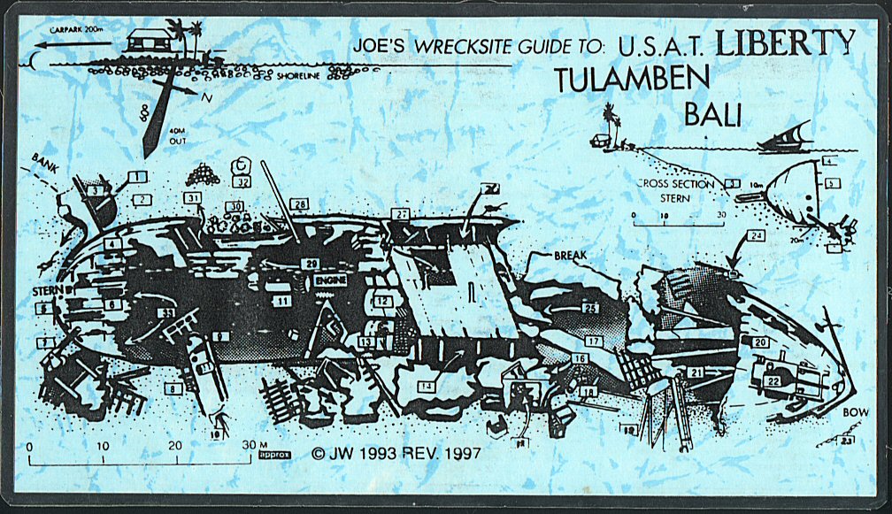
Click on the wreck map to enlarge and see specific area details as below
| 1. Dive start. Main route | 2. Eel garden 8m |
| 3. Rudder swimthrough 10m | 4. Bollard & shallowest part of the wreck 2m |
| 5. Portholes in stern 15m | 6. Quarterdeck 2-20m |
| 7. Stern gun & fallen superstructure 19-27m | 8. Winch with steel cable 25m |
| 9. Collapsed bulkhead with portholes & doorway 20-25m | 10. Danforth anchor 28m |
| 11. Helical engine gears 18m | 12. Engine boilers |
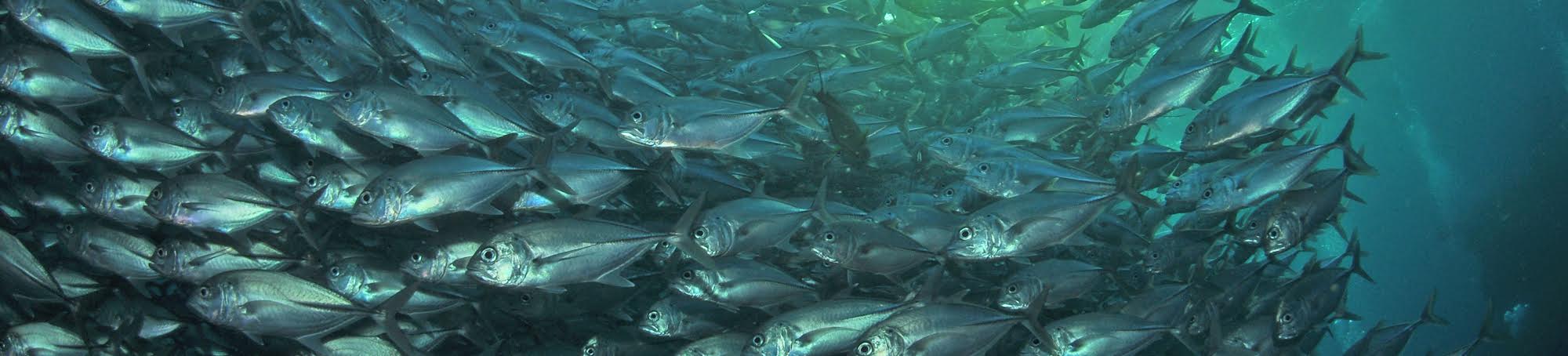
| 13. Lower boiler with valves 15-20m - tons of beautiful soft coral, tubestrea & gorgonian fans | 14. Lower entry to hold 18m - often trevally school inside the hold |
| 15. Entry to toilets & showers - take care - tons of beautiful soft coral, tubestrea & gorgonian fans | 16. Entry to deep penetration - take care - tons of beautiful soft coral, tubestrea & gorgonian fans |
| 17. Broken up areas of wreck with many steel plates | 18. Pulley blocks 18m |
| 19. Booms 28m | 20. Ladder shaft 16m |
| 21. Entry below foredeck good overhangs here with tons of beautiful soft coral, tubestrea & gorgonian fans | 22. Foredeck gun. Note barrel sponge on breech 20m, also coated in beautiful soft coral, tubestrea & gorgonian fans |
| 23. Anchor chain at 30m | 24. Penetration to bow - danger take care. |
| 25. Side swimthrough into hold - often trevally school inside the hold | 26. Top swimthrough into hold - often trevally school inside the hold |
| 27. Good 5m stop. Many fish here | 28. Boom - good 5m stop |
| 29. Swimthrough past propeller shaft tunnel | 30. Soft coral garden 7m |
| 31. Exit to 5m stop rock pile | 32. Coral growth here 5m |
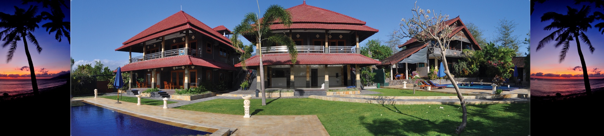
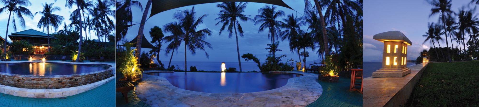
 Tulamben Wreck Divers